How to read a tide chart
What the numbers on a tide table actually mean, which lows are worth going out for, and why a good low in Britain is a positive number and a good low in California is a negative one.
Two numbers, and only one of them is the one people read
A tide table gives you a time and a height. The time tells you when to be there. The height tells you whether it is worth going at all, and it is the one almost everybody skips.
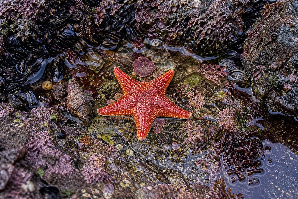
The height is how far the water will pull back. Shore life is arranged in bands, and each band is defined by how long it spends out of the water. Barnacles and periwinkles sit high up where they are dry for hours, anemones and mussels below them, and at the bottom the animals that are almost never uncovered at all. Sea stars, urchins, nudibranchs and octopus live down there. An ordinary low tide stops above them. A big one does not, and that is the entire difference between a shore that looks like wet rock and a shore that looks like an aquarium.
Zero is not the bottom
Every tide height is measured from an agreed zero. The two halves of the English-speaking world do not use the same one.
In the United States, tide predictions are measured from mean lower low water: the average of the lower of each day’s two low tides, taken over a nineteen-year period. Being an average, half of all low tides fall below it. That is why American tide tables are full of negative numbers, and why a minus tide is worth setting an alarm for.
Britain, Canada, New Zealand, Australia and most of the rest of the world measure from a chart datum which is set at or near the lowest astronomical tide, roughly the lowest the water is ever predicted to reach. Almost nothing falls below it, so those tables are full of small positive numbers instead. A British low of 0.3 m and a Californian low of −0.5 ft may describe the same morning.
Do not memorize a number. Look at a month
The usual advice is a threshold: go out below zero, or below half a meter. It is close enough on one coast and useless on the next, because tidal range is a local fact. Parts of the Bay of Fundy move sixteen meters between high and low. Parts of the Mediterranean move twenty centimeters. A rule that fits both does not exist.
Pull up a month of predictions for the shore you are going to, find the lowest handful, and go on one of those. Roughly two mornings or evenings a fortnight will be much better than the rest.
Springs and neaps: why it is a fortnight
Twice a lunar month, at new moon and at full moon, the sun and the moon pull in line and the tide swings further in both directions. Those are spring tides, which have nothing to do with the season: the word "spring" here refers to something that leaps. Between them, at the quarter moons, the two pulls are at right angles and the tide barely moves. Those are neaps.
The swing lags the moon by a day or two at most places, so the biggest tides arrive just after the new and full moon rather than on it. The biggest of the year come within a week or so of the March and September equinoxes, when the sun sits over the equator. If you only go out a few times a year, go then.
The window, not the moment
Low tide is an instant. What you want is the hour around it.
Arrive forty-five minutes to an hour before the predicted low, work downward as the water leaves, and turn round when it stops going out. The return catches people out because it does not come back at a steady rate: the water moves slowest at the turn and fastest in the middle of the cycle, so the first twenty minutes of the flood are gentle and the next forty are not. If you are still working the low band when it turns, you are already late.
Where the numbers come from, and what they cannot know
Predictions are astronomy. In the United States they are computed from harmonic constants published by NOAA; in Britain the Hydrographic Office publishes the turns directly; Canada’s are from Fisheries and Oceans. All three are very good, but none of them can see the weather.
A hard onshore wind, or a deep low-pressure system, can hold the water higher than predicted by a third of a meter or more, and a sustained offshore wind can drop it. A prediction is not a promise. It is a very good forecast of the astronomy, with the weather still to be added on the day.